About Tour Package

Uttarakhand sits at the top of the country, with the Himalayas as the crown. Blessed with these incredible mountain ranges, Uttarakhand attracts trekkers from all around the world. 

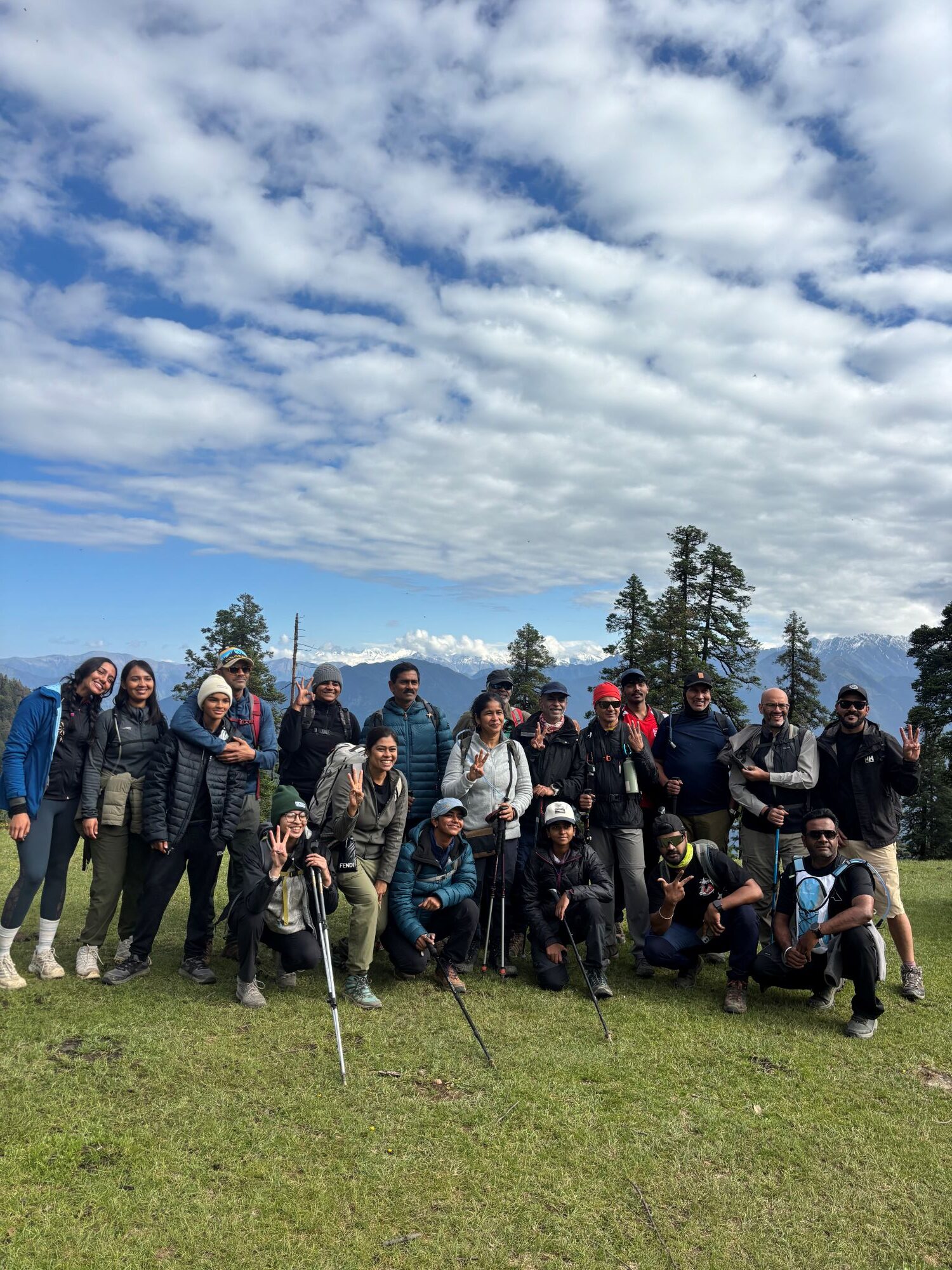
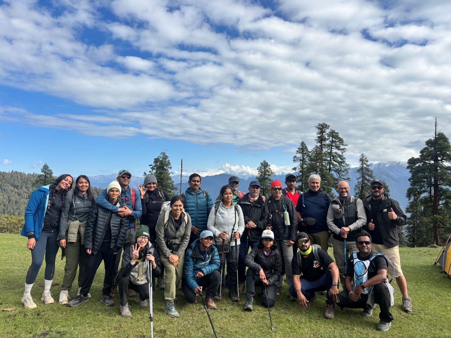
One of the gems in this trek trove is Phulara Ridge, which remains veiled as of now and is known for its breathtaking ridge walk. Located in the Govind Pashu Vihar National Park in Uttarkashi, Uttarakhand can be accessed through the quaint village of Sankri.

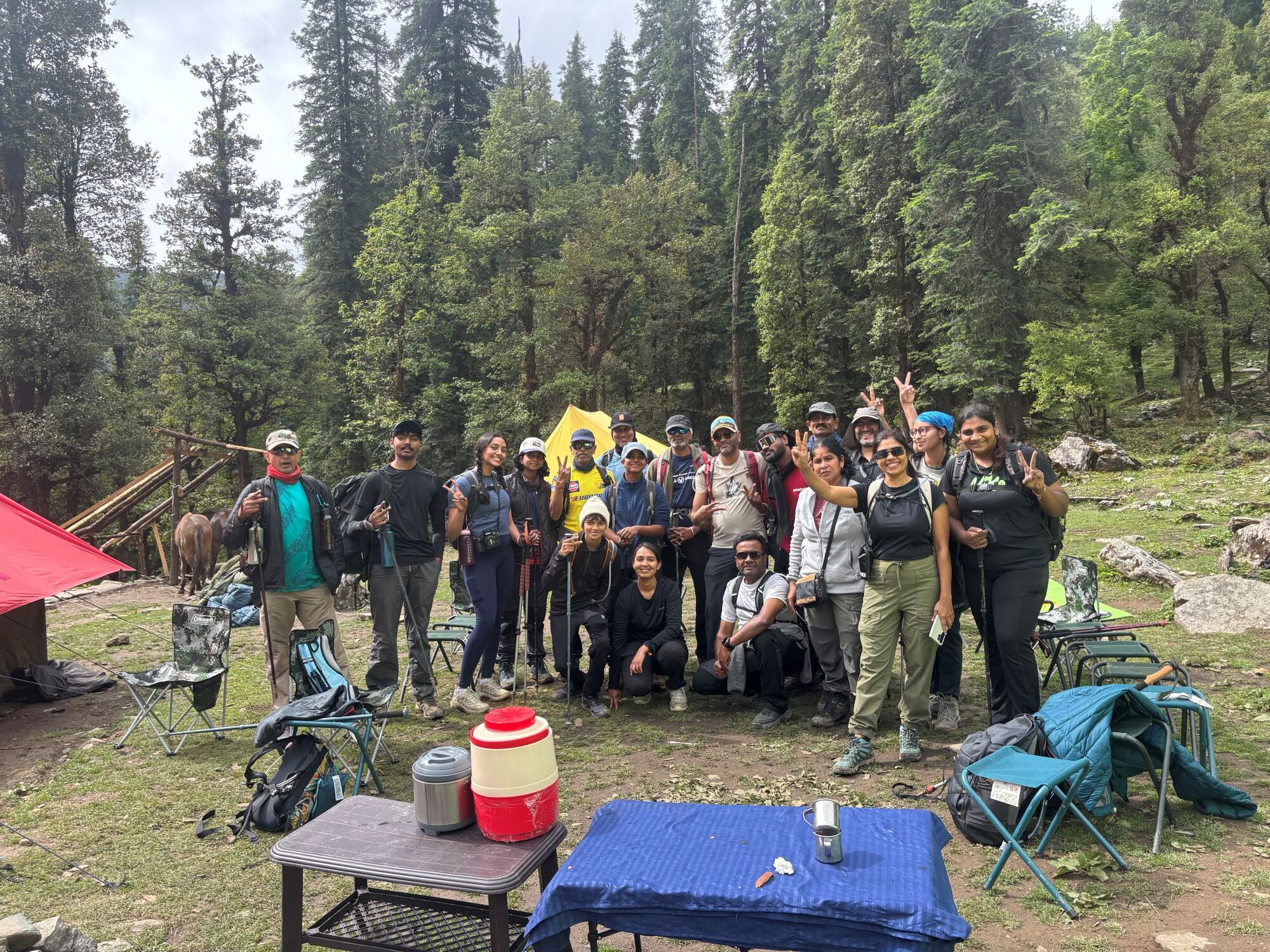
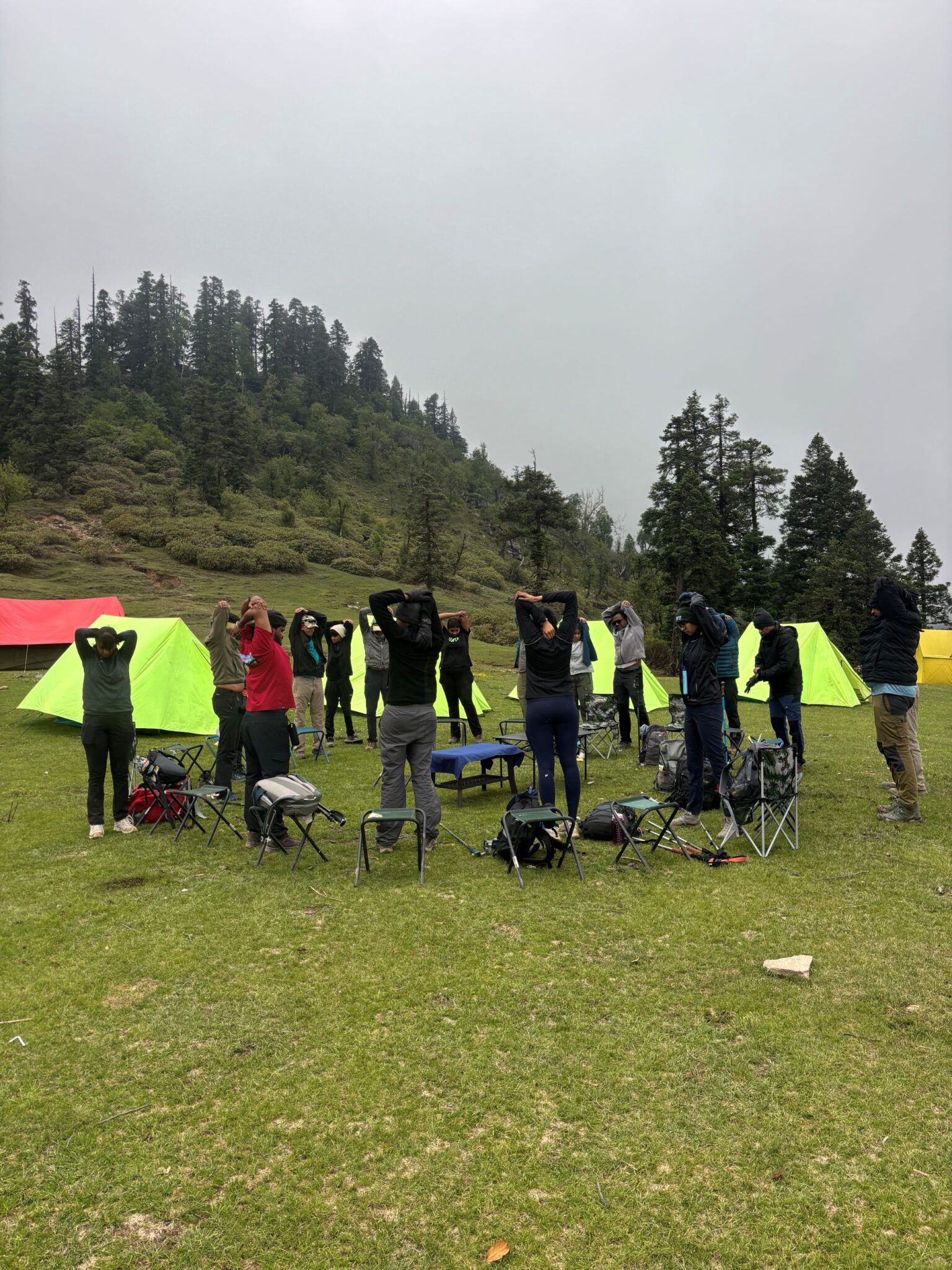
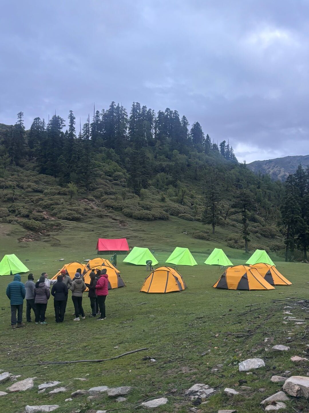
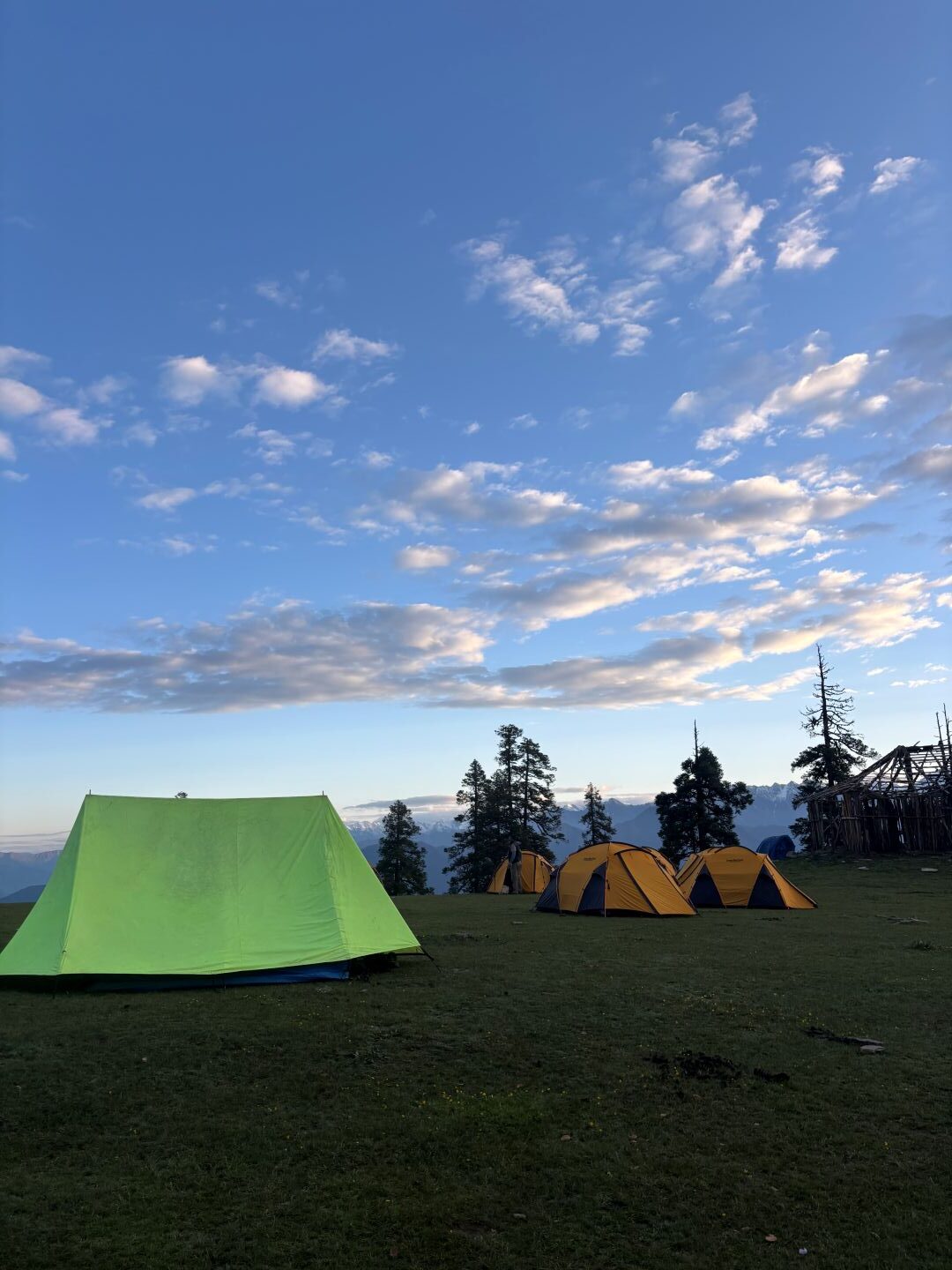
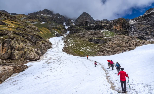
Situated at an altitude of 12,172 ft above sea level, Phulara Ridge Trek is a 6-day long trek, including the drive time from Dehradun. This trek is every trekker’s dream come true as it includes ridge walking, covering endless lush meadows of Pushtara, exploring dense forests, camping near a serene lake, and much more. 

This all-in-one trek will begin with the hike towards Juda Ka Talab (also a campsites on Kedarkantha trek) and later ascend towards the ridge. Phulara trek gives you the opportunity to walk over the ridge for a long span of 4 hours. Usually, a trekker has to go on a high altitude and difficult trek to experience this. 

Region

Uttarakhand

Base camp

Sankri

Duration

6 Days

Grade

Easy - Moderate

Distance

26 km

Altitude

12,172 ft

  • icon
    Tour Itinerary

    Drive Distance: 185 km

    Drive Time 7-8 hrs
    Altitude 6,400 ft
    Reach Dehradun on Day 0 to avoid any delays on Day 1 pick-up as we provide the facility from Prince Chowk near Dehradun railway station. We will aim to start the drive early as the journey to Sankri is long. The drive will be filled with the obvious Himalayan mountains peeking through dense forests, clouds and the rivers meandering through them. Yamuna River will join us after crossing the famous hill station Mussoorie till Nuangaon. From Mori, river Tons will accompany us all the way to Sankri. Sankri is a small but beautiful village with only 270 people living there, helping us make a smooth trek. Sankri hosts trekkers for various other treks like Kedarkantha, Bali Pass, Burasu Pass, Ruinsar Tal, and many more, making it one of the famous basecamp villages. After reaching Sankri, the evening is yours to rest, immerse in the surrounding beauty, and get acquainted with the new altitude.
    Trek Distance & Time: 4 km, 4-5 hours Altitude: 8,800 ft Altitude Gain: 2,400 ft Today marks our first official trek day; after a hearty breakfast, we will ascend towards Juda ka Talab, a high-altitude lake. After the first few meters, we will leave the buzz of the main village behind and be surrounded by forest harmony. After walking for 1.5 km, you will pass the famous ruined Dhaba (food outlet), also known as “Basuri Wala Dhaba” or “Jainol Thatch.” This is the first clearing on our way, where we will rest for a while. After walking again for a short distance, another small clearing known as “Marikoda” will come into sight. From this point, you can see Mt. Dhunda Peak and Phulara Ridge itself. Continuing to walk on the trail for another 30 minutes, the main trail for Juda ka Talab will begin. At this point, you will be walking through a dense forest of tall trees like pine, oak, deodar, etc. Be on the alert to spot indigenous birds like the Himalayan Monal (State bird of Uttarakhand) and hear the different but beautiful sounds they make. We will reach JKT in another 40 to 50 minutes, and you may encounter the “Gecko Rock,” which looks like a lizard’s head helping up high. The trail will be covered by colourful wildflowers, purple lilies, and yellow marsh marigolds, especially after the monsoon or in spring. Depending on the conditions, we will camp in the nearby clearings, like Sikolta, for easy water access. What better way to end the day than by spending some time near a calm lake between the mountains and enjoying a delicious meal? Juda Ka Talab has many folk tales related to its formation; one of the many famous ones is related to Lord Shiva. It is believed that Lord Shiva opened one strand of hair from his hair bun (called Juda in Hindi), and a droplet of water fell from it, forming this lake.
    Trek Distance and Time: 5 km, 4-5 hours Altitude: 11,200 ft Altitude Gain: 2,400 ft Today’s trail is filled with ascent, descent, meadows and a wooden bridge with the forever beautiful sight of snow-capped Himalayas in the background. We will walk through a dense forest of pine, deodar, birch, etc, for 1 km, which we crossed yesterday. After this, the trail gets narrower for the coming 500 m and is filled with uplifted roots of trees. Be careful while walking, and do not step or sit over them as you might fall. After the ascend, you will come through a clearing where the Sankri mountain range is visible. From this point, we will descend for another 1 km and reach an old wooden bridge on a water stream, our water source. The hike continues with an incline of 45° to 50° to “Kharsu Thatch” for another 500 m. From Kharsu Thatch’s top, you can see that the stream flows through the valley, dividing it into two parts. On the left side, you will see the Phulara Ridge, and on the right, the infamous Kedarkantha Peak (12,500 ft) is visible. After taking a short break, we will continue to ascend for another half an hour. The pretty wildflowers will decorate the trail along the rhododendrons and bhoj patra trees. We will reach the “Dhunda Top,” the highest point of today’s hike. From here, prominent views of many peaks of the Purola region, like Swargrohini, Devkayara, Vijaya Top, et,c are visible. Our camping site – Bhoj Gadi, is just a short walk away from this point. After rest, we will walk towards the top and spend some time there to acclimate our bodies to higher altitudes and return to our tents.
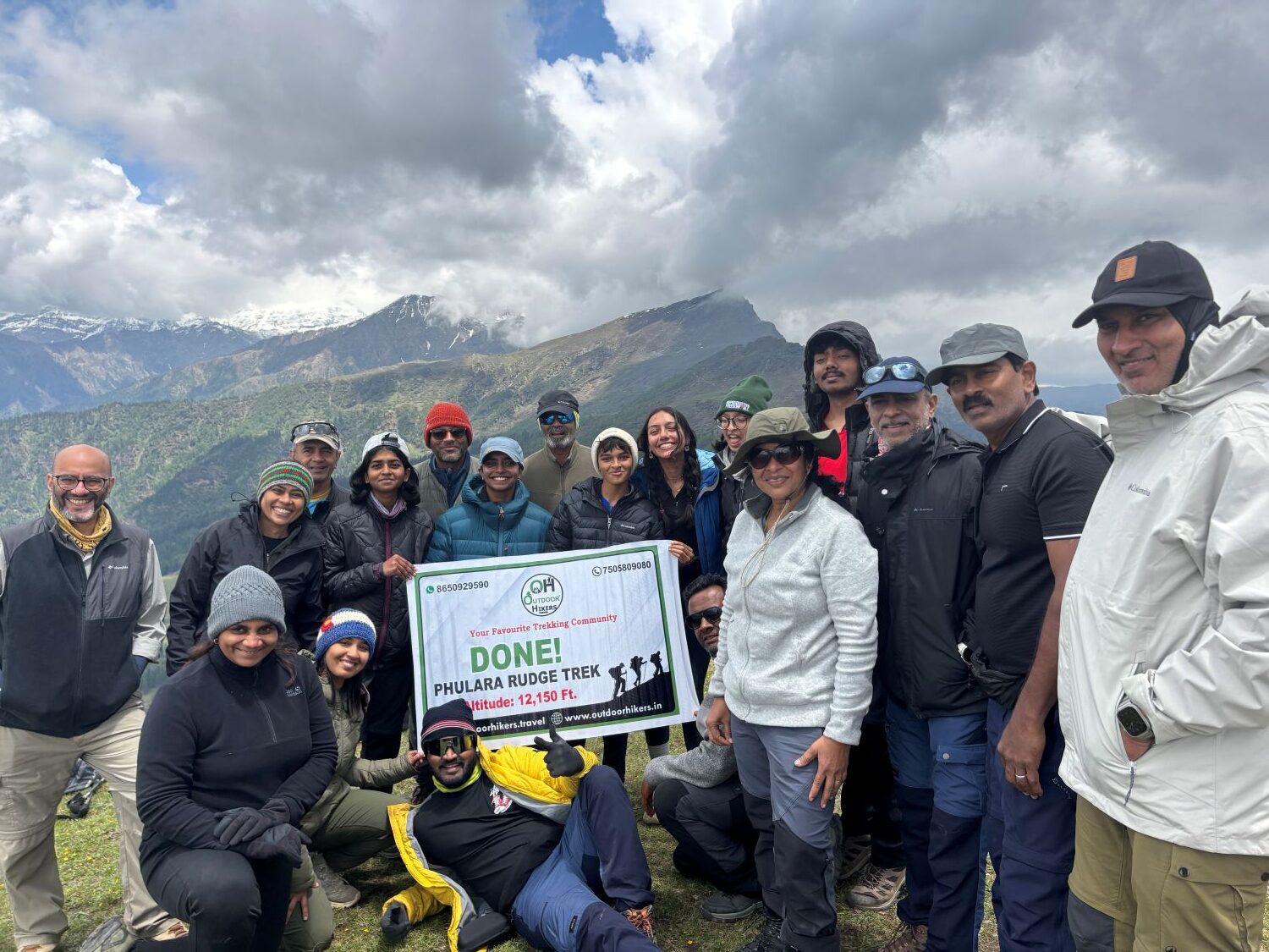
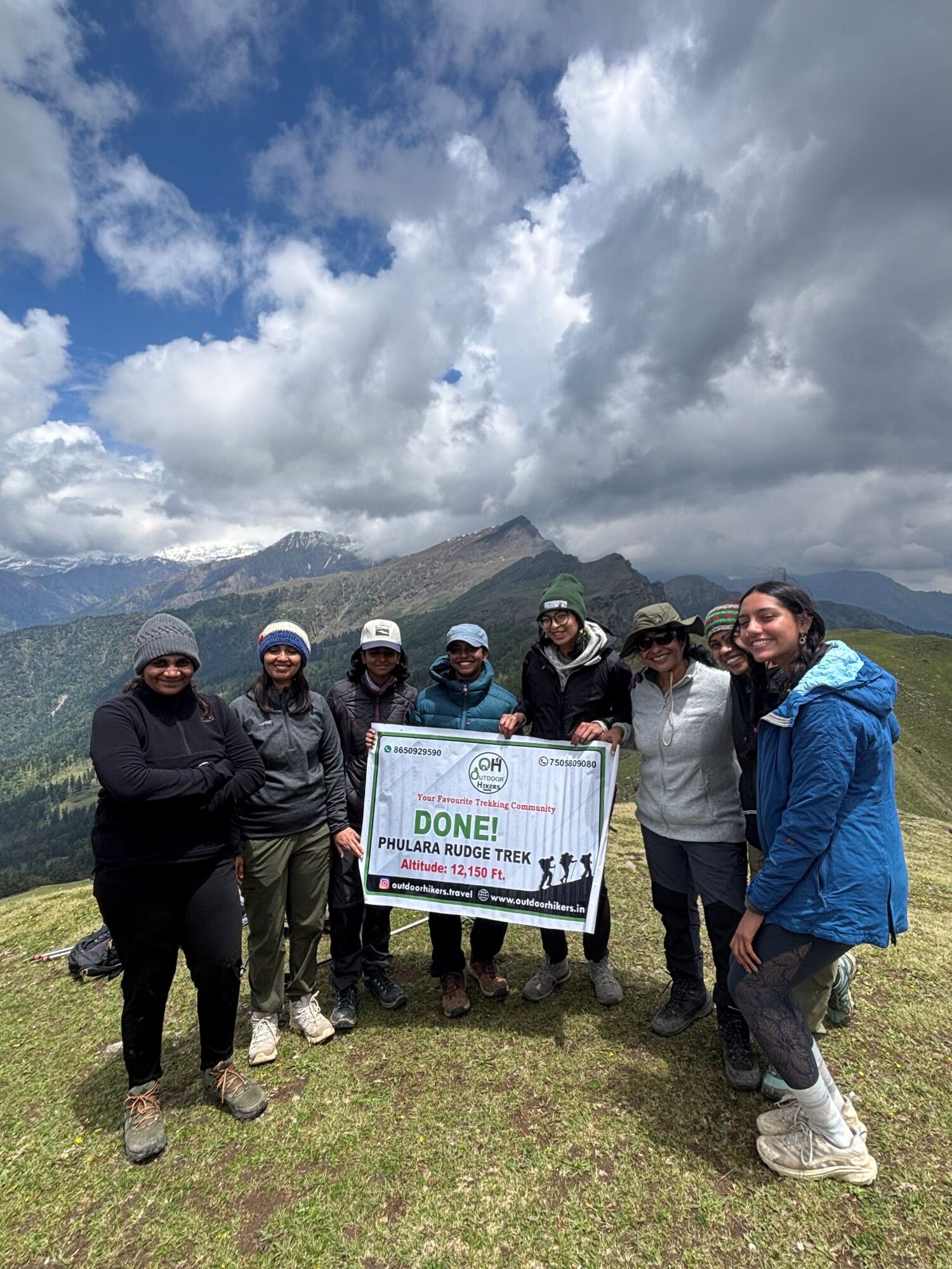
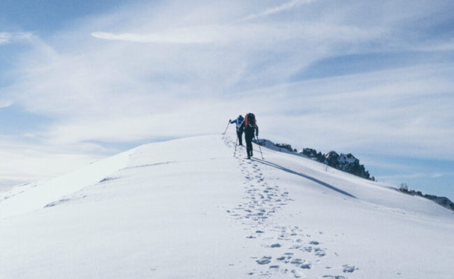
    Ascend & Descend: 8.5 km Time: 6-7 hrs Max Altitude: 12,150 ft Altitude Gain: 995 ft Today’s trail has the most awaited part of the trek – Phulara Ridge. After having energy energy-packed breakfast, we will start the long hike. It is advised to carry at least 2 litres of water with you as there will be no water source on the way, and the day consists of a long walk. The 1st kilometre is an easy gradient flat surface walk, which will take 45-50 mins to cover. The trail will slowly start inclining and take you towards the ridge. Conserve your energy on this part to face strong winds on the ridge. Words cannot describe the magnitude of Phulara ridge and the views from it. You will see many peaks like Mt. Swargrohini, Kalanag, Kedarkantha, Devkayara Valley, etc, clear and closer to you like never before on this trek. Strong winds will remind you the nature’s forces, and from that height, deep valleys will add more to the thrill. Keep your belongings, like a cap, poncho, mobile phones, sunglasses, etc, safe. The ridge walk will continue for 3.5 km and let you have ample time to soak in all the beauty surrounding it. We will stop before the descending point to have our lunch and rest for a while. After lunch we will resume our trek and start descending towards the vast meadows of Pushatara. The grassland will be a good scenery, and the environment change after the ridge walk. The walk from here will be easy as it will be on the soft grass-covered meadow, giving your feet a much-needed break. The serenity of the meadow will make you forget the distance covered while descending, calming your body and mind. After crossing the meadows of Pushtara, we will again enter the dense forest. The trail will have an entrance marked by stones, which are also used by local communities of Gujjars, who visit these places in search of firewood, fodder, etc. The stone-marked way will take us to our campsite of the day which is near a water stream. Given the nature of today’s trek, we will wrap the day early after a hot dinner and rest well.
    Total Trek distance & Time: 8 km, 5 hrs Altitude: 6,916 ft Altitude Loss: 4,755 ft Drive Distance and Time: 12 km; 30 minutes Today marks the last day of our trek which is of easy gradient. After the breakfast, we will continue our trek through the dense forest. At some points, you will see many fallen trees on the groun,d serving as the base for other trees and plants. After 1 kilometrer, the path will be covered with much denser trees and a zig-zag trail for another 3 kilometres. Keep an eye out for Monal birds and langurs who will swing back and forth on these huge trees while being intrigued by you (the new faces). We will reach a T junction on which the left turn will take you to the famous “Har Ki Doon” trail, and on the right, Taluka village awaits us. The walk will continue after taking the left till the end point in Taluka. After entering the village, you will be able to see the Supin River from a distance and the surrounding Supin range. Our vehicles will take us to Sankri village after a short drive of 12 km which will be covered in 1 to 1.5 hours. After reaching Sankri, the evening is yours to explore the local culture and rest.
    Drive Distance & Time: 185 km, 9-10 hrs We will bid bye to the Himalayas with a promise to return back soon for another adventure. Relish the delightful drive to Dehradun, accompanied by Himalayan peaks, meandering roads and rivers. We will reach Dehradun by the evening, so book your return tickets accordingly.

Package Features List

Include Features

Exclude Features

Frequently Asked & Question

Yes, on the given condition that you are physically fit and well aware of the situations to expect on a trek.
You may find Jio and BSNL networks in the beginning; otherwise, on the ridge, further connectivity is null or sketchy.

Phulara Ridge is situated in Govind Pashu Vihar National Park in Uttarkashi district of Uttarakhand.

Summer is best for clear skies and warm temperatures, while Autumn is perfect for milder temperatures and golden hues scenery.

₹ 11,500 Per Person

  • Mony Back Guarentee.
  • Your Safety is Our Top Priority.

Customize

Travel Package!

60+ Guide Await to Help You

Gallery