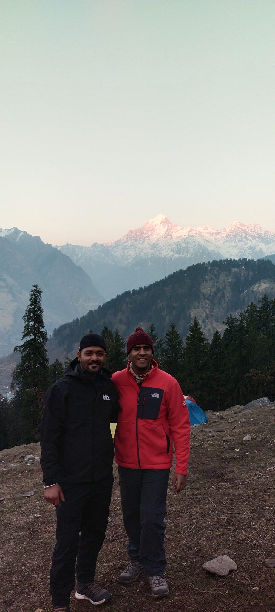
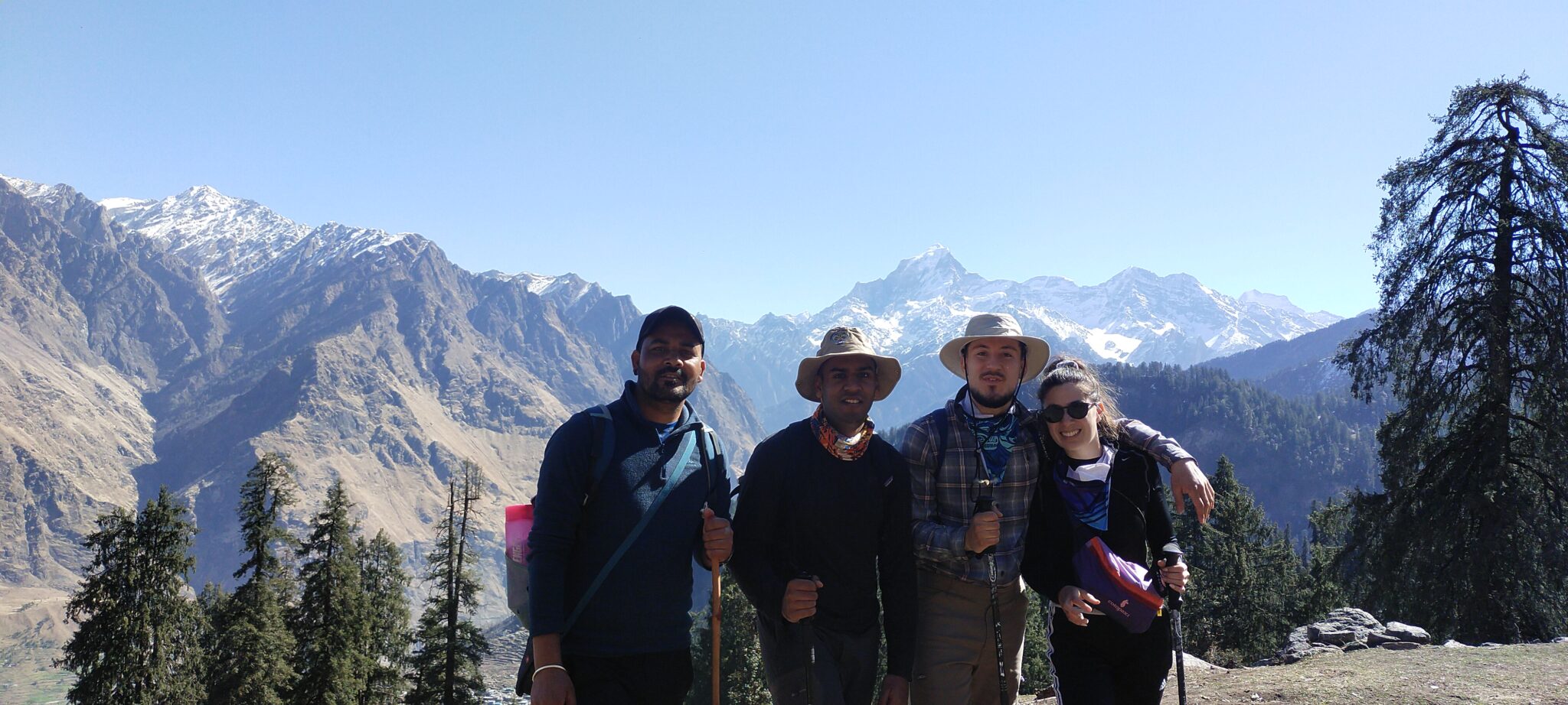
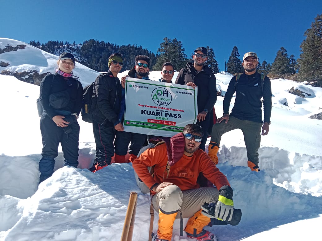
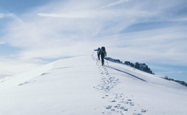
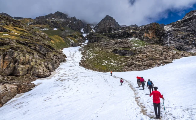
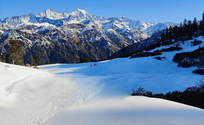
Kuari Pass is famous as a winter trek in Uttarakhand, India. Located in the Chamoli district, the trail begins from the quaint village of Dhak and passes through beautiful forests and meadows before reaching the high-altitude Kuari Pass. It’s an easy to moderate trek, suitable for both beginners and experienced trekkers. Covering a total distance of around 33 kilometers as a round trip, the route reaches a maximum altitude of 12,516 feet (3,815 meters) and rewards trekkers with breathtaking views of Mt. Nanda Devi and other majestic peaks of the Uttarakhand Himalayas.
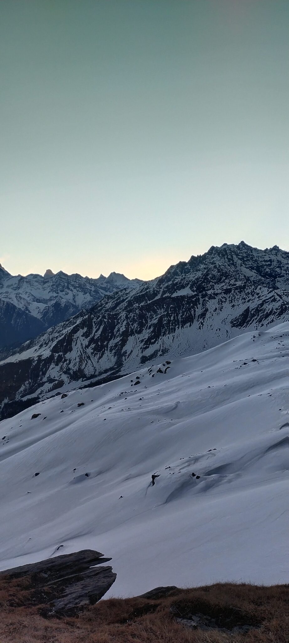
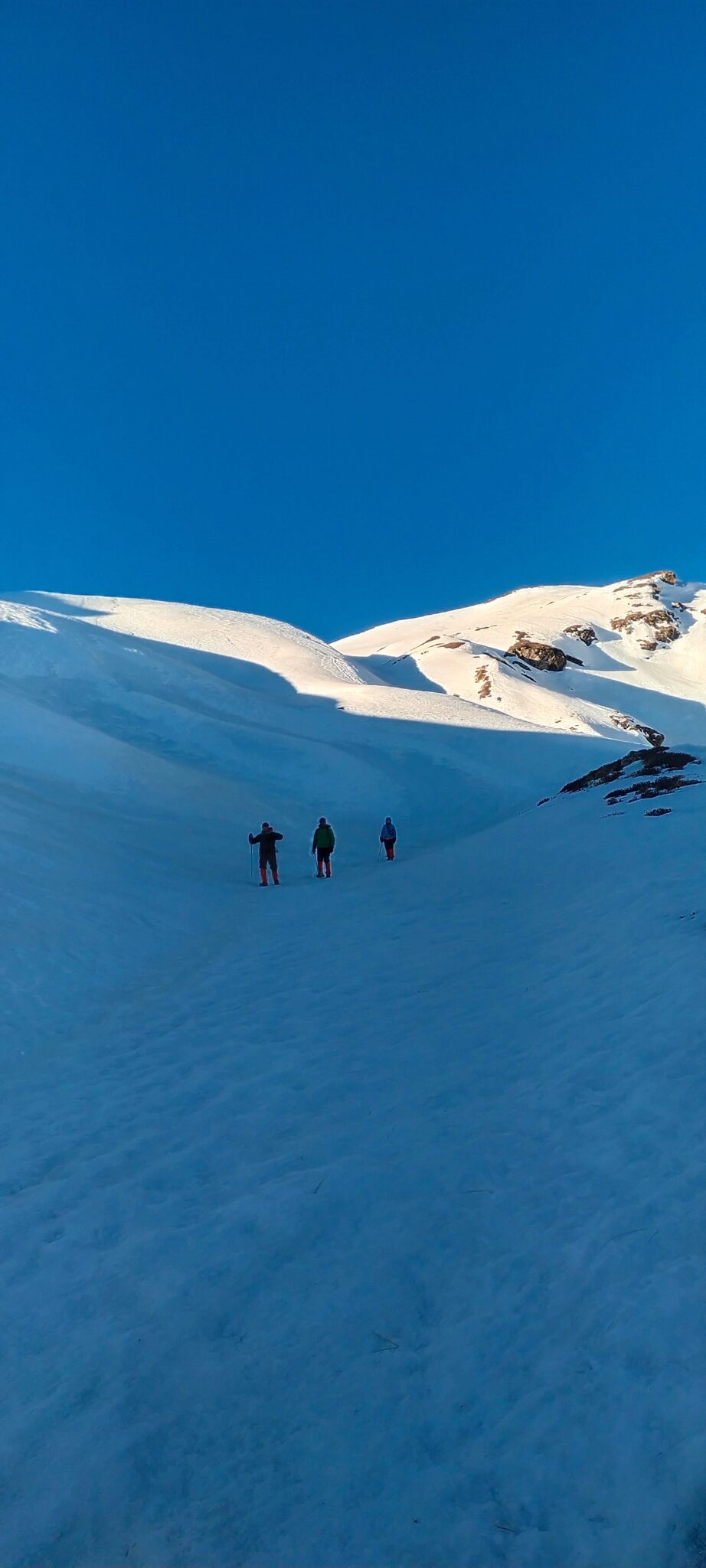
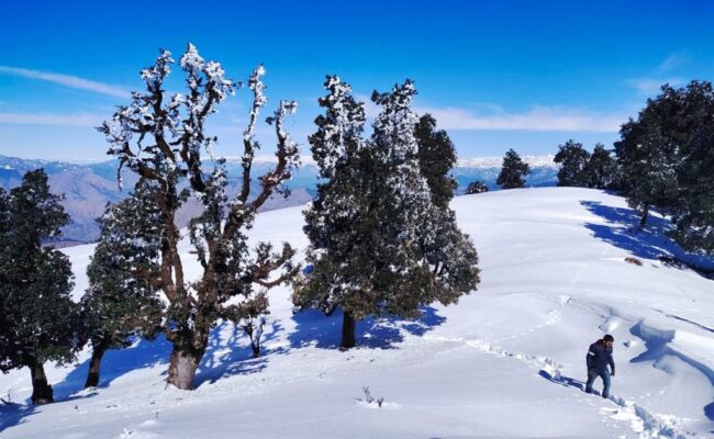
Kuari Pass trek is a journey through meadows, forests, and snowfields, offering something special in every season. In winter, the trail turns into a pristine white wonderland, perfect for those seeking the magic of snow. During other seasons, the landscape comes alive in vibrant hues, each telling its own story through changing colors and moods. Whether you are a nature lover or an adventure seeker, Kuari Pass offers an unforgettable experience amidst the stunning landscapes of Uttarakhand.
The trail takes you through ancient oak and rhododendron forests, across expansive meadows like Gorson Bugyal, and ultimately rewards you with jaw-dropping views of some of the most iconic peaks in the Indian Himalayas.
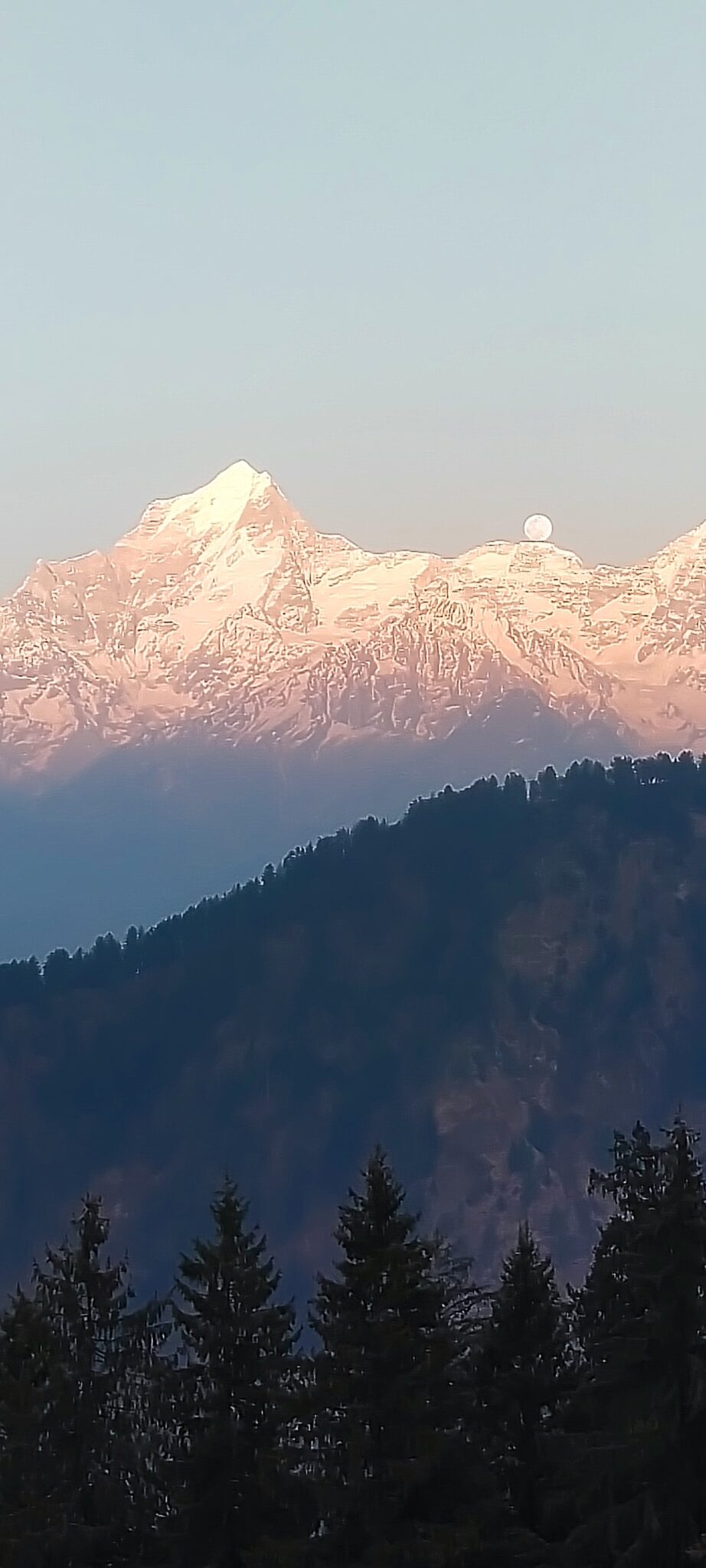
Kuari Pass offers stunning view of India’s 2nd highest mountain Mt. Nanda Devi (7817 m), which is not just clearly visible but is closer than ever. You can spot other Himalayan peaks like Chaukhamba (7014 m), Kamet (7756 m), Hathi Parbat (6727 m), Gauri Parbat (6708 m), Neelkanth (6500 m), Mana (7274 m), Deoban (6855 m), Trishul (7120 m), etc., clearly and closely on this trek. Such breathtaking views of Himalayan peaks are not common on most treks in Uttarakhand.
Read further to understand the itinerary, best time to visit, trek difficulty, and essential tips, and make your experience of trekking in Uttarakhand even more memorable.