About Tour Package

Deoban trek, popular as the perfect weekend trek, offers a wonderful opportunity to experience the joy of outdoor trekking in a span of just 2 days.

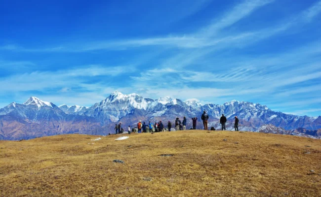
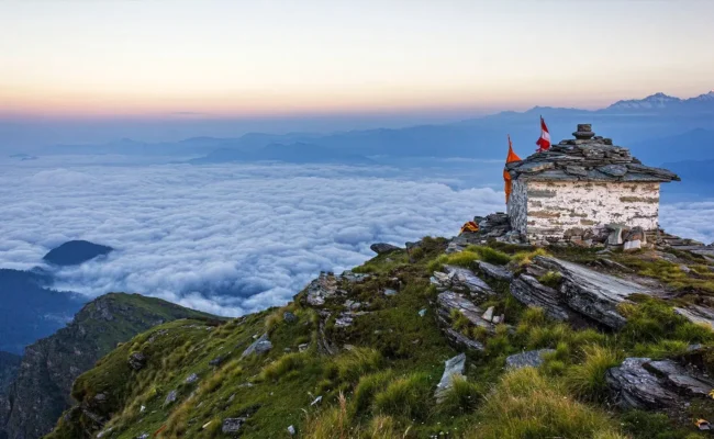
Located near the Chakrata Hill Station, this trek starts from Lokhandi, passes via Saraswati Campsite and ends at Vyas Sikhar. Vyas Sikhar, the ultimate destination of the Deoban trek, is located at 9,448 ft altitude and stuns you with mesmerising 270° views of Himalayan Peaks and valleys. 

Overall, it’s a 15.45 Km trek and can be easily completed within 2 days. Along with being an easy trek, Deoban is known for its vibrant beauty of forests, diverse wildlife, and beautiful birds. The Deoban name itself expresses its Connection with the forest. Deo refers to the Deodar Tree, and Ban refers to the Forest. 

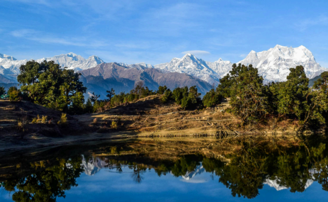
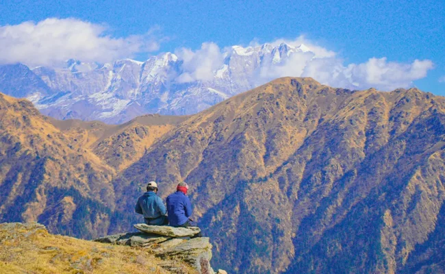
The highlight of this deoban trek is that despite being an easy level trek, more than 50 mountain peaks are visible on this hike. From the Vyas Shikhar, you’ll see glimpses of Mount Nanda Devi, Nanda Ghunti, Dronagiri, Bandarpoonch, Gangotri Range, Swargarohini, Sri Kantha, Kedarnath, Badrinath, Trishul, Borasu Pass, Ral Dhang, Santhal Pass, Hans Beshau, Kokshni, Gushu Pishu, and Kand Mahadev. 

Region

Uttarakhand

Base camp

Chakrata

Duration

2 Days

Grade

Easy

Distance

16 km

Altitude

2,870 m

  • icon
    Tour Itinerary
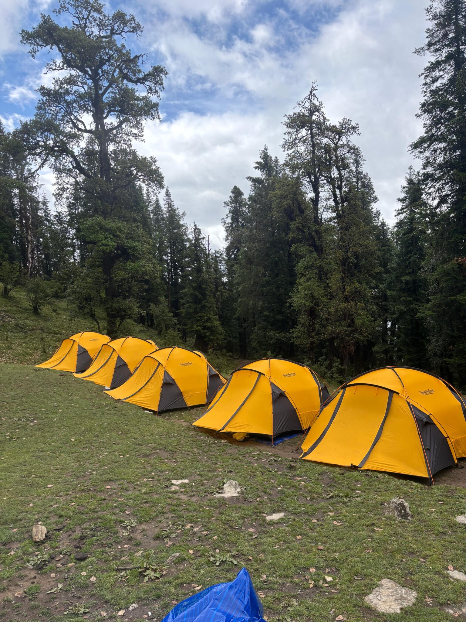
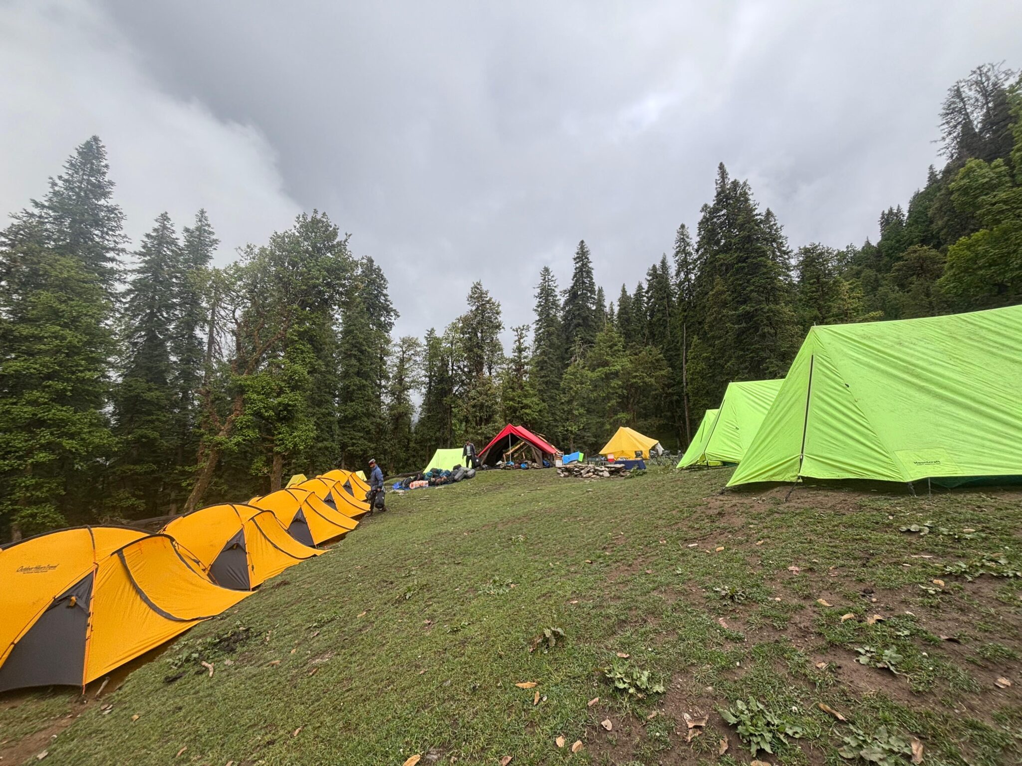
    The day starts from Dehradun. We follow the route to Vikasnagar via Indian Military Academy, Forest Research Institute and Institute of Petroleum. Next on the way is the industrial and educational town of Selaqui. This is the main road to Saharanpur/Shimla/Vikasnagar/Paonta Sahib and hence a lot of traffic is seen on the road. We turn right from Herbertpur Chowk towards Vikasnagar. The road now ascends towards Kalsi which is the major forest division in this region. Plenty of plantations of teak and eucalyptus can be seen along the roadside. Kalsi is a very ancient town and is mentioned in ancient texts as well. A very famous Ashokan Rock Edict is found here. It was discovered by a Britisher in 1895 and is now maintained by the Archaeological Survey of India. The language on the edict is Pali and the script is Brahmi.We cross the Yamuna at Kalsi and reach Chakrata after 2 hours via the village of Sahiya. We have breakfast at one of the dhabas in chakrata. The trek starts from the forest chowki 4 km after Chakrata. However we would recommend walking all the way from Chakrata. The road winds among dense devdhar trees with babblers, nut-thatches, thrushes and tits to give you company. There is a small museum near the forest chowki. The views of the higher Himalayas along the way cannot be ignored. The sun rays weave through the upright trees creating a beautiful geometric pattern on the road. The trek now moves from the tar road to a bridle path which the locals often use. The gradient is comfortable upto the small stop way of Badrikhal. This place has a dhaba run by a Nepali family and a few houses scattered around. Badrikhal is located along the saddle of the ridge which overlooks the watershed of the famous Tiger falls below Chakrata. The village of Mohna just above the falls is visible from here. The route continues till the army rock climbing institute. This camp is aptly named spider colony. It is headed by a very able army man of Tibetan origin who has climbed Mt Everest twice apart from conquering Ama Dablam and Mt Lhotse. Photography is strictly prohibited here. The trek continues along the tar road for a while. The views along the Chakrata-Tiuni road are unending. This road leads to Kanasar (30 km from Chakrata) which is a majestic open field set among large devdhar trees. In fact Kanasar has the largest diameter (girth) devdhar tree in Asia. Although no rivers are visible in the valleys, the intersecting spurs of the hills make for a beautiful vista. The campsite for the night is located amidst tall fir and pine trees and is protected from the chilling wind. A starry sky wishes you good night.

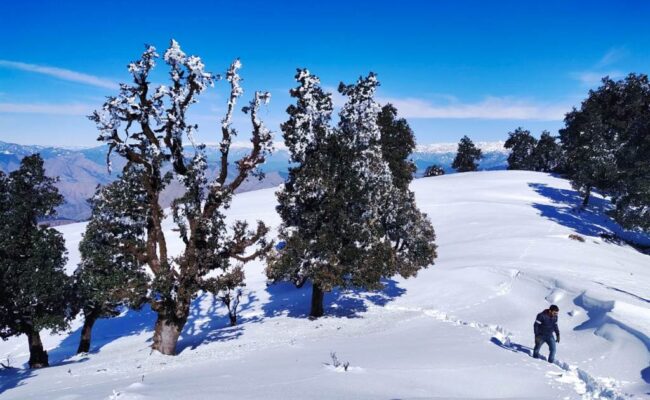
    The next day we start our trek post breakfast and walk towards the FRH of Devban. Packed lunch is provided for the journey. We take a detour from the main road and walk along the forest trail. The main road follows a winding path till a Y-point with one end going to the Devban FRH and the other continuing for a further 24km upto the skiing slopes of Mundali. Mundali has one of the best FRH in all of Uttarakhand. We follow the forest trail which was used before the tar road was built. The trail rises upto the ridge and then curves behind the vertical rock patch. The forests here are very dense and you get a feeling of being watched all the way. Since very little sunlight reaches here most of the snow will still be 1-2 feet deep. The trail ends right at the main entrance of the FRH. The meadows in front of the FRH are beautiful and the green fence gives it a postcard feel. After having tea at the FRH we proceed to Vyas shikhar which is the highest point on the ridge. At a height of 3005m it gives a mesmerizing view of the Himalayan vista. The peaks of Kandariya Mahadev, Goshupishu, Koshni, Swargarohini, Ranglana, Banderpoonch, Shrikantha, Gangotri, Kedarnath, Badrinath, Dunagiri, Nandadevi and Trishul are visible from here. There is a stone marker indicating all the peaks seen from here. After finishing our packed lunch we head back to our campsite. We pack our bags and proceed back to Chakrata. The rest of the day can be spent sight-seeing around Chakrata. The famous Tiger falls can be visited and the Chintan-haran Shiv temple can be paid a visit. The main bazaar of Chakrata is called the Sadar bazaar and is a small place. There are small viewpoints built all around chakrata for tourists to sit and soak in the views. The army has done a wonderful job to keep the town clean and the construction regulated. Most of the official government buildings continue to be housed in old British colonial architecture style bungalows. The most prominent among them is the police Thana. We leave Chakrata and head for Dehradun.

Package Features List

Include Features

Exclude Features

Frequently Asked & Question

Reaching a maximum height of 12,550 feet (3,825 meters), the trek route of Ali Bedni Bugyal covers a total distance of about 31 kilometers (19 miles) and takes approximately 5 to 6 days to complete. The trek route starts from Lohajung, passes through forests and water streams, and finally offers the unparalleled natural beauty of the vast grassland of Asia’s largest alpine meadow. The basic trekking distances each day and the gradual climbing make it perfect for both experienced trekkers and first-timers, including families with young children above 10 years and senior citizens below 70 years.
Ali Bedni Bugyal is located in the Chamoli district of Uttarakhand State in India. The starting point of this trek, Lohajung, a small hamlet, lies approximately 250 kilometers from Rishikesh. Although some parts of this bugyal are in the Kumaon Himalayas, the majority lies in the Garhwal Himalayas.

For trekkers, the winter season, especially December, January and February, is a perfect choice, which will be made even better by good snowfall in Ali Bedni Bugyal. After snowfall in the winter season, the meadows, Himalayan peaks including Trishul and Nanda Ghunti and the surrounding area turn into beautiful natural snow beauty. When passing through the forests in winter, the first rays of the morning rise and reach close touching the icicles, bringing a kind of freshness and vitality in the heart. Apart from trekking, the snowy areas make this place suitable for skiing trips and other snow-related activities.


While altitude sickness might not be a real concern during the Ali Bedni Bugyal Trek, you must be very careful because safety is the first priority. This destination lies at an altitude of approximately 12,550 feet above sea level. While going above 8,000 feet increases the chances of altitude sickness, if you properly acclimatize and follow all the precautions, you will not be affected by AMS or any other sickness. Overall, altitude sickness is not common on the Ali Bedni Bugyal Trek, but you are advised to inform your trek leader if you experience any symptoms.

Jolly Grant Airport, also known as Dehradun Airport, is the nearest airport to Ali Bedni Bugyal. It is located approximately 25 kilometers from Dehradun and 15 kilometers from Rishikesh.


₹ 7,500 Per Person

  • Mony Back Guarentee.
  • Your Safety is Our Top Priority.

Customize

Travel Package!

60+ Guide Await to Help You

Gallery